Our Best Intentions
08:45:00 ⌛+0 Hours
We didn't wake up expecting to be airlifted from a mountain.
September 29, 2022
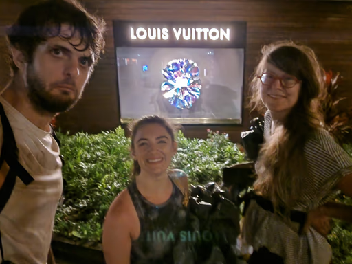
My wife and I were staying on the top floor of the Hilton Hawaiian Village in O'ahu. The sun had just appeared over the horizon, and my alarm yanked me out of my cozy bed. I packed my camera bag with hiking supplies: Two bountiful liters of water in my Camelbak, some Açaí Hi-Chews, a chocolate chip Clif bar, my Canon R5, and my two favorite camera lenses. Liv and I headed down to the Great Lawn for breakfast.
We were visiting Hawai'i so Liv could attend a work conference. Hundreds of Mozilla employees and their families were at this resort for the company's yearly all-hands. While my wife and her colleagues were busy, I'd been coordinating a hike with some folks via an "Employee +1s" Slack organization for a few days. I just had to be back by 7:30PM for a team dinner.
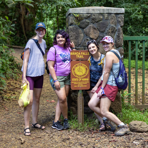
I ate my eggs and muffin and croissant quickly, kissed Liv goodbye, and walked across the teeming resort to the hotel's Uber pickup location, where four other folks buzzed with eager excitement to go for a walk in the woods. Our plan was to hike to two O'ahu landmarks amidst the tropical forest: Manoa Falls and Pali Overlook. I hadn't been active in the planning process, but these two landmarks looked close enough to each other on the map, and I just wanted to go for a hike.
I sat down on a bench and opened AllTrails to find a route between the Manoa Falls trailhead, Manoa Falls itself, and the Pali Overlook. Normally, when I'm searching for a hike in an area that's new to me, I look for highly-rated AllTrails routes with recent reviews. I found plenty of routes that passed Manoa Falls, and some near Pali Overlook, but I didn't see any routes which connected the two. I felt surprised — surely someone else in this group had figured out something I'm missing — but I decided to keep searching.
I noticed a series of trails which connected the Falls and the Overlook: Excellent! Even though these trails didn't comprise a named "AllTrails route," I had found our path. Critically, the lack of a named route meant that I couldn't easily discern the trail's distance or elevation gain.
"This is what I think we should do," I called to the other four, gesturing to my phone. "I'm not sure if y'all had something else in mind, but it doesn't look like there's an easy way to get between Manoa Falls and Pali Overlook. Here's the only way that I see to connect them. It looks like fun, and it looks doable."
The excitement and enthusiasm built. This was going to be a beautiful hike.
We piled in to a nearby van and drove 20 minutes to the busy trailhead parking lot.
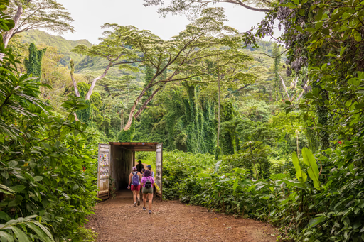
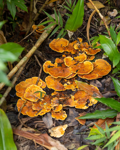
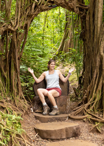
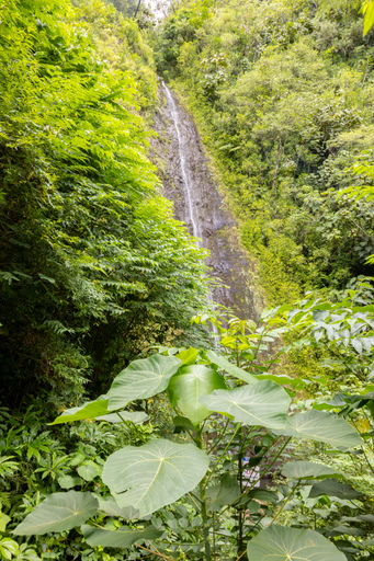
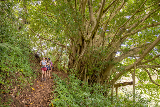
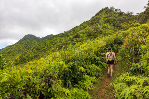
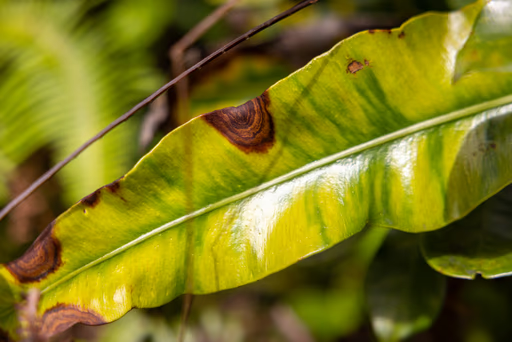
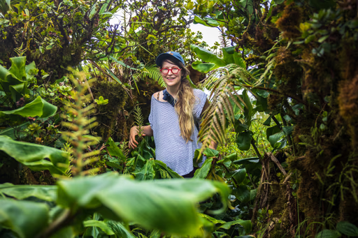
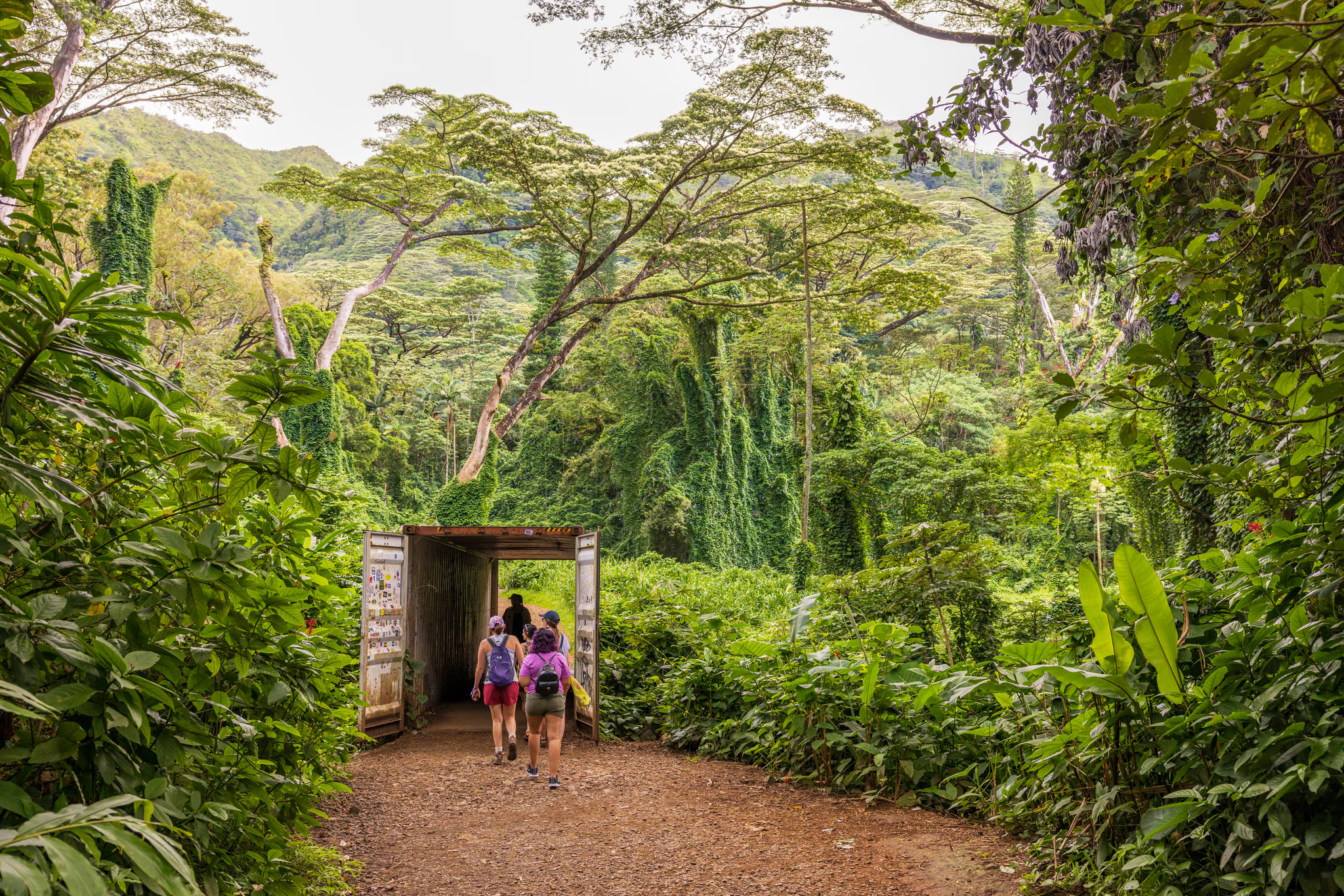
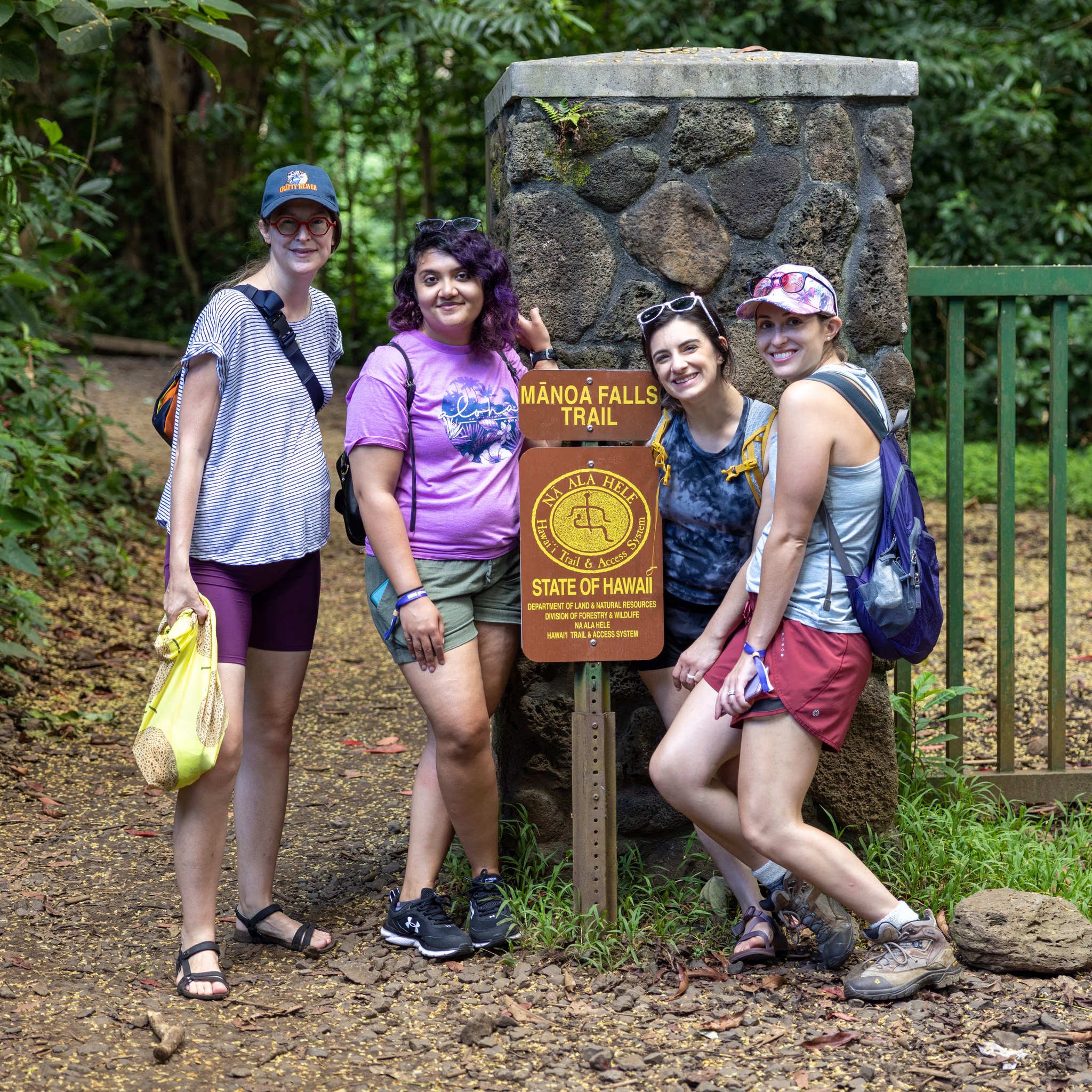
It was as if we were walking through a scene from Jurassic Park. Huge ferns surrounded the trail. Trees whose roots grew top-down from tall limbs created woody obstacles. Crunchy-looking fungi grew in the muddy ground.
The falls themselves were an unremarkable trickle.

Beyond the Waterfall
09:30:07 ⌛+0.75 Hours
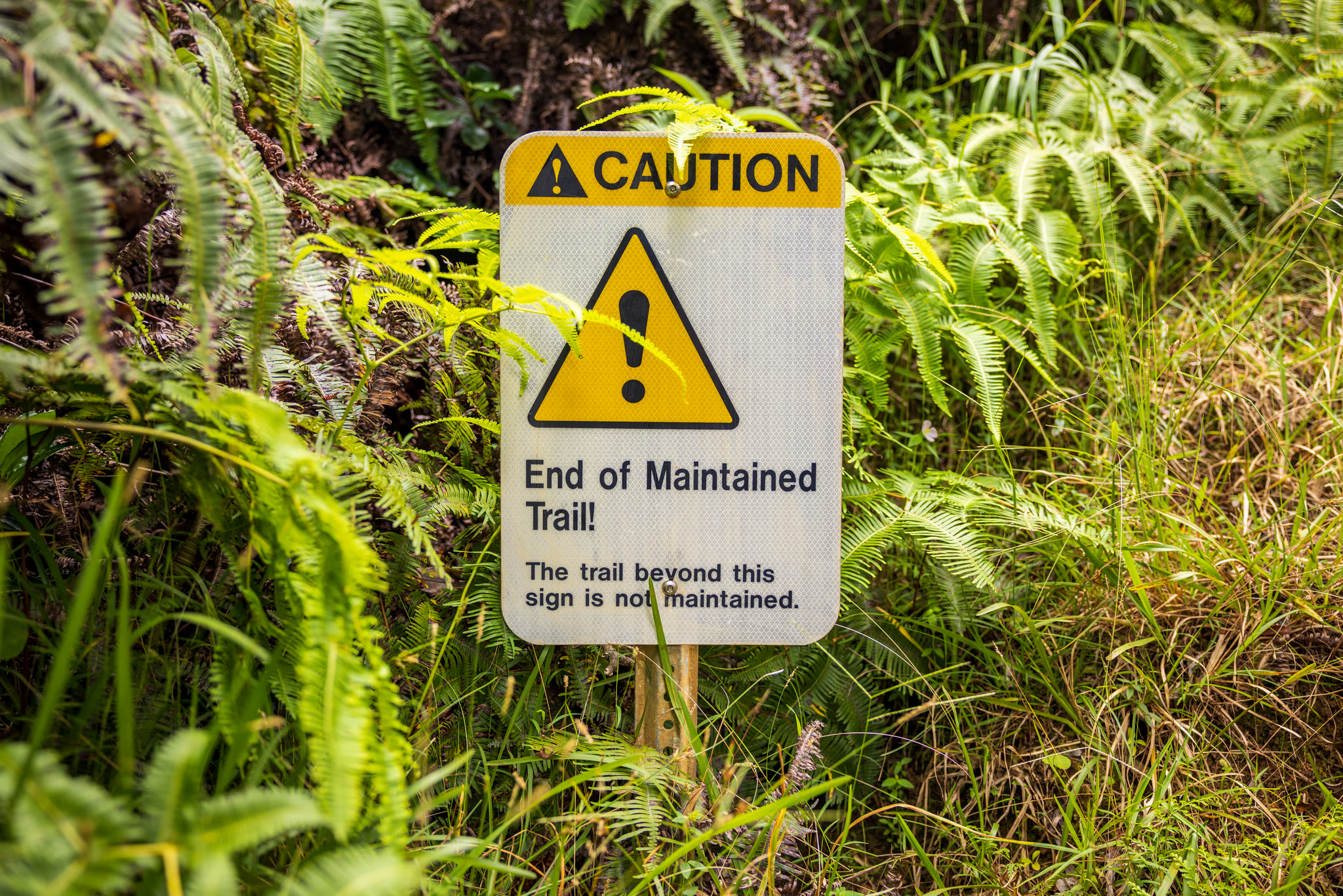
"End of Maintained Trail?" Sounds awesome!
We took a few photos and headed a couple hundred meters back to a split in the trail. Left would take us back to the parking lot, while right took us up in the direction of Pali Overlook. Bearing right, we started a shallow ascent peppered rarely with steeper switchbacks.
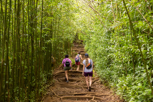
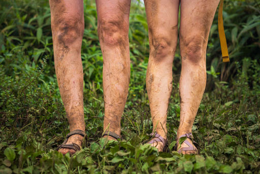
It had rained five days prior, so the trail was still drying. I was wearing waterproof hiking boots, but some of the others wore hiking sandals. For them, that meant constant attempts to avoid the unavoidable mud, lest their toes become wet and squishy.
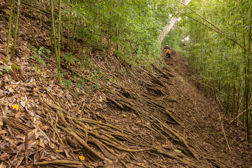
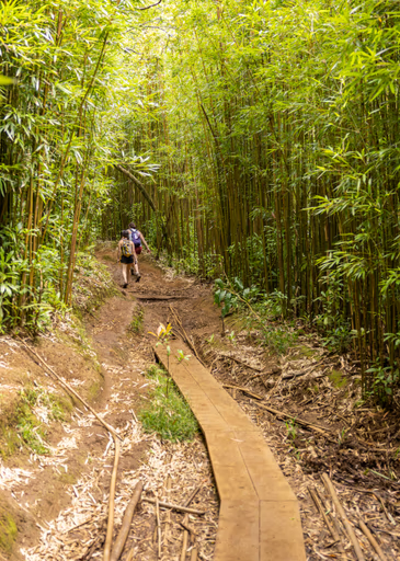
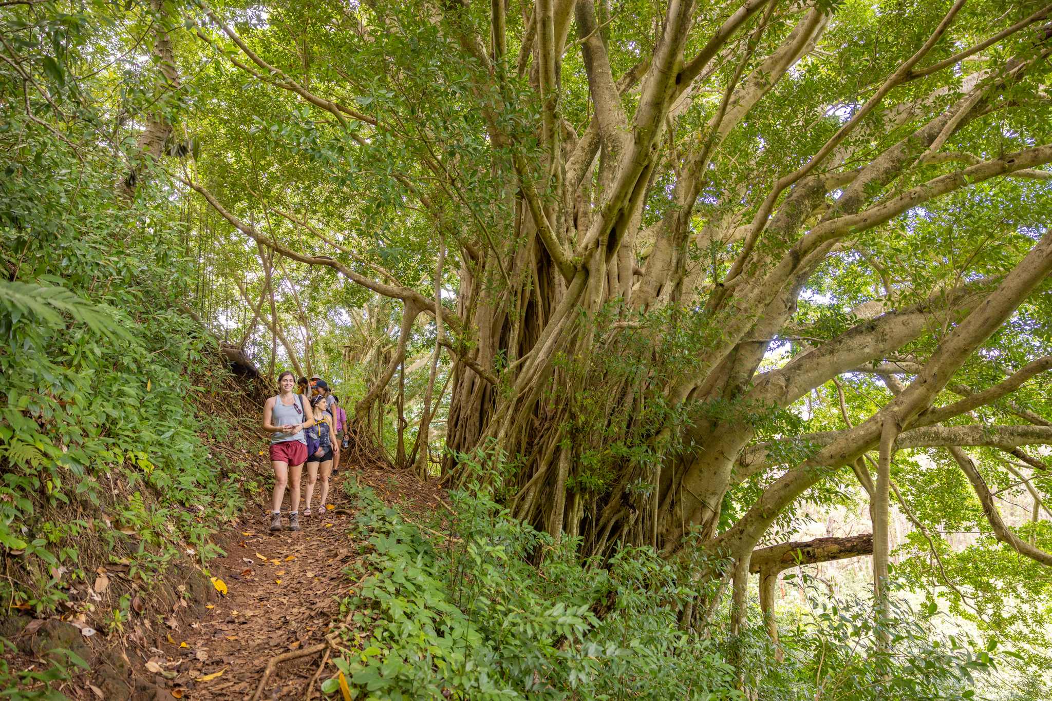
Our ascent was slow but steady. We took turns leading the group through tall bamboo forests, learning facts about each other with laughter and a candidness brought out only by treks through lush nature.
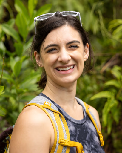
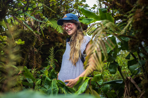
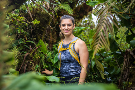
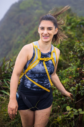
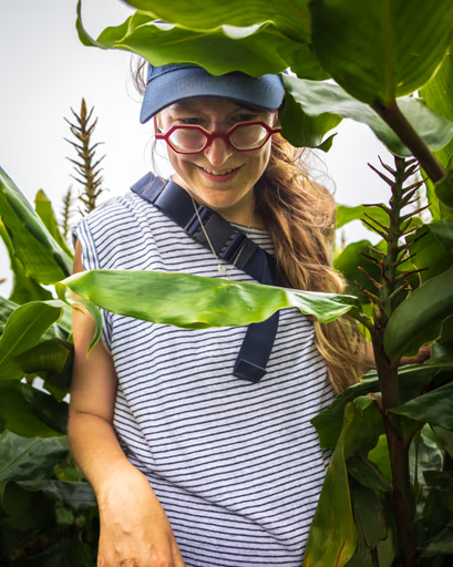
For example, we learned that Meredith, one of the sandal-wearers, was six months pregnant with her first child. Her persistence and adventurous spirit impressed all of us as she expressed a calm confidence that the hike was well within her limits.
Jessie, Sandal Wearer #2, was also a mother. Her two young children were enjoying time with their grandparents back on the mainland. She had an endlessly positive, bubbly demeanor packed into a springy five-foot frame.
I, a childless fence-sitter, proudly told stories of my father, who had instilled in me a strong love for the outdoors. He's one of a few hundred people in recorded history to climb to the highest peak of every state in the continental US, plus Hawai'i's. Throughout his vast journey, he never had to be rescued from a mountain via helicopter. Take that, Dad.
We approached another fork in the trail, where we headed right again. Three members of our group discussed their afternoon submarine trip reservation back at the resort. It seemed like we had plenty of time to make it to our destination in time for them to submerge at 3pm; I estimated about three hours for us to finish the hike, and we continued onward.
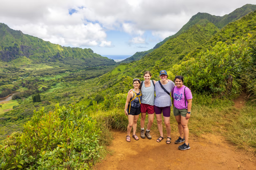
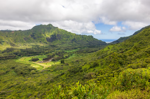
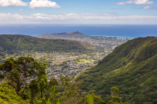
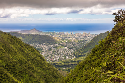
I gasped with surprise as we reached a break in the trees that provided us our first vista view. After a short water and photo break, we pressed on. This time, the path forward was not so obvious, as it was shrouded by thick overgrowth. Awesome.
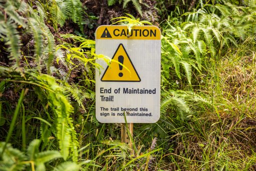
After a few steps, we encountered a scary, reflective sign: "End of Maintained Trail!" I photographed it and began buzzing with excitement. After an unremarkable start, wild trail treasures called out to me from ahead.

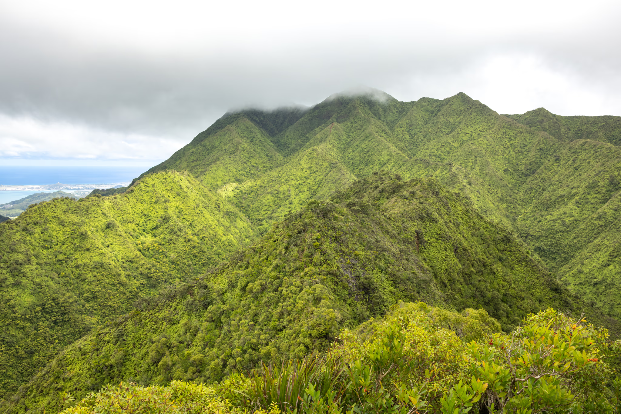
My Favorite Hike
11:13:00 ⌛+2.5 Hours
Incredibly thrilling.
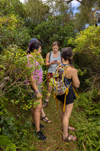
Standing next to the sign, our group chatted again about the submarine reservation. Somebody called the tour company in an attempt to push the time slot until the next day, but it was unchangeable. Where we stood seemed like a perfect turn-around point for anyone wary about missing the undersea adventure.
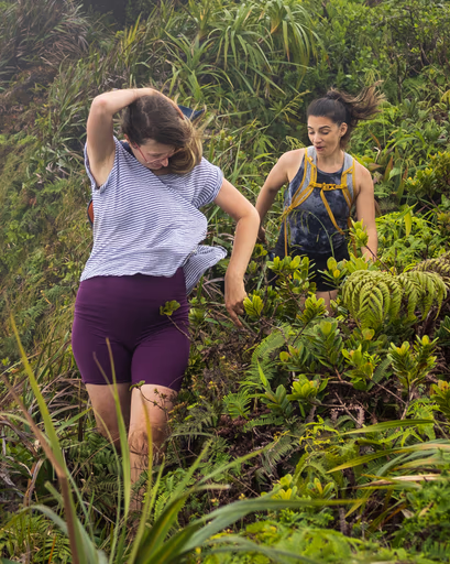
Meredith, Jessie, and I bid goodbye to our two returning friends. Jessie, despite having a seat reserved on the submarine, overcame the sunk cost fallacy and continued with Meredith and me beyond the scary sign.
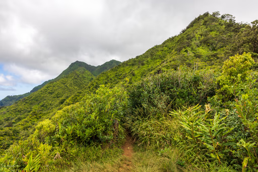
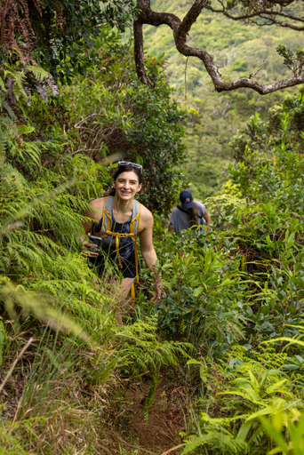
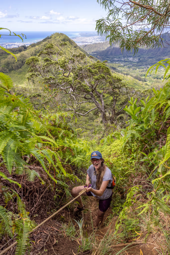
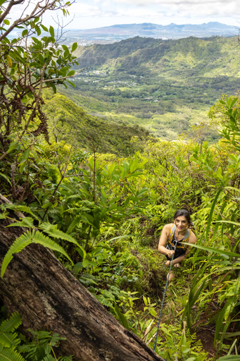
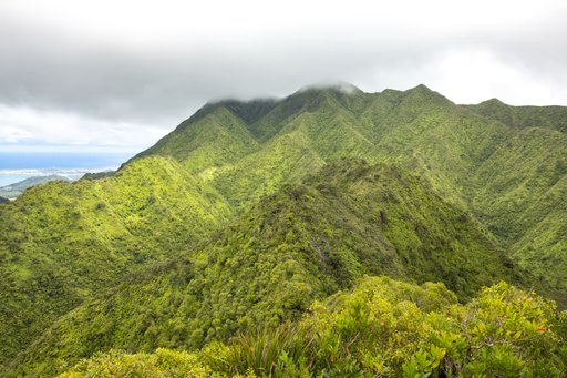
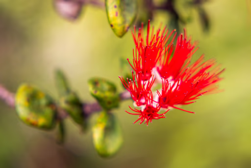
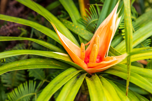
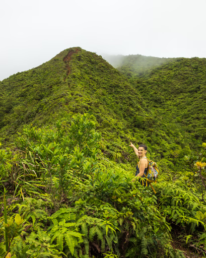
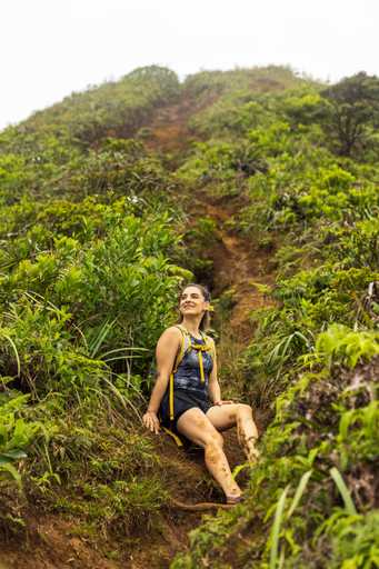
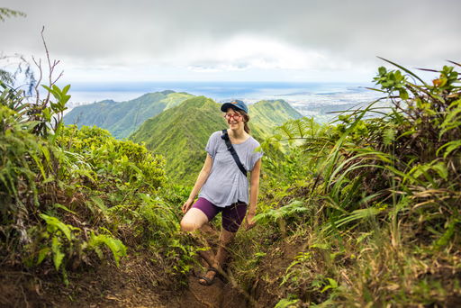
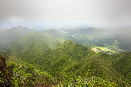
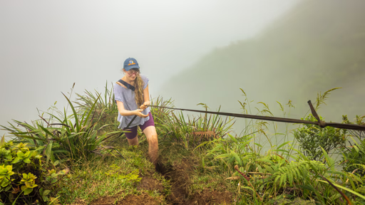
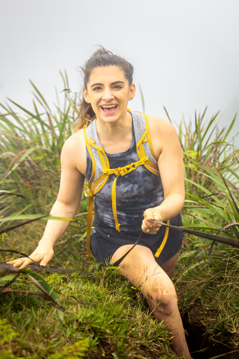
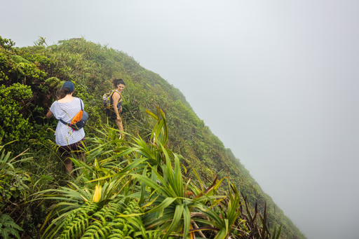
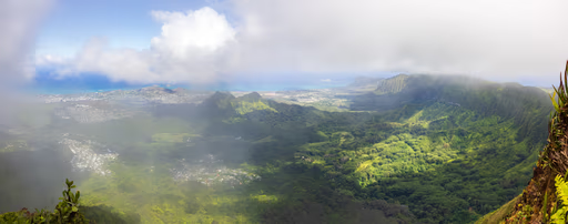
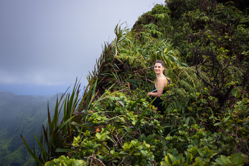
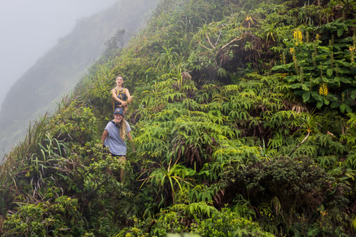
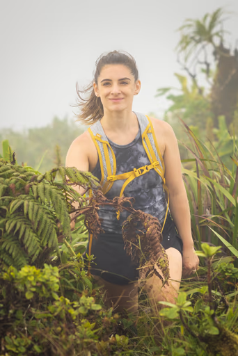
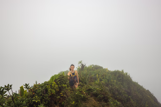
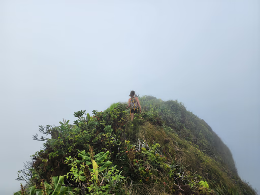
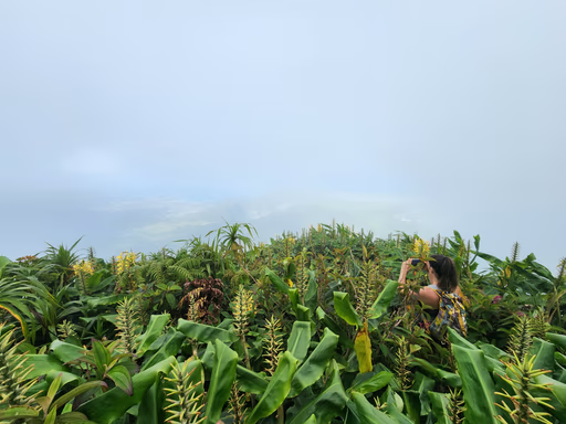
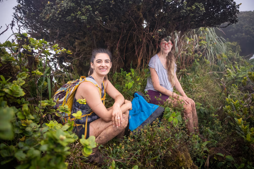
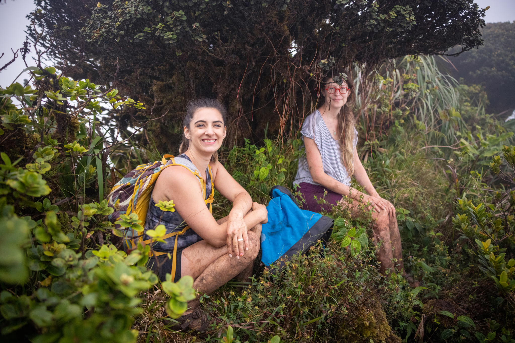
What followed was miles of intense bushwhacking and breathtaking views that only the photos below can adequately describe. My two comrades and I grew closer, bonding over the unbelievable beauty of the Hawaiian terrain, the flat-topped trees, and visions of surrounding towns.
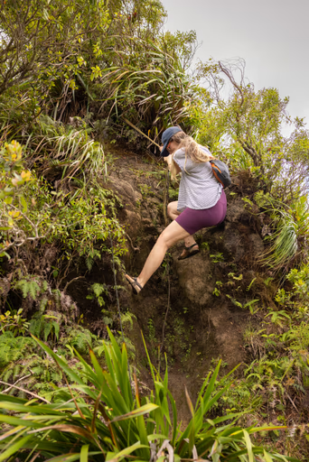
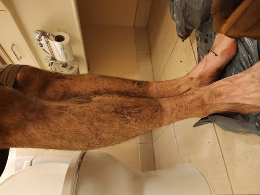
The ceaseless overgrowth continued as the trail grew tougher and muddier. Dubious ropes and webbing tied to roots by previous climbers aided our ascents and descents through the most vertical sections. Flowers and leaves we'd never before seen flanked our path. Sticks and thorns clawed at our bare legs, leaving scratches and drawing trickles of blood.
We were loving every moment.
Jessie posted a photo to her Instagram story, utilizing the surprisingly strong cell service aided by our unobstructed altitude. We sat down for a snack, oblivious to the fact that we were sitting where a helicopter would land to pick us up a few hours later.
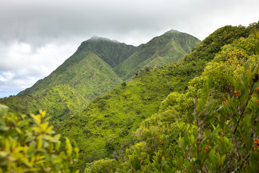
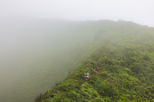
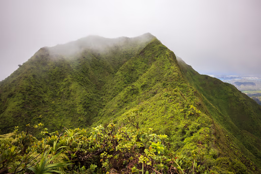
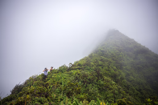
Peering ahead, two steep peaks peeked through threatening clouds. At some point, we realized: Oh, shit. That's where we're going. We have to climb up there. This realization marked the first moment on our hike where my brain injected a small shot of fear into my veins, which made me momentarily colder.
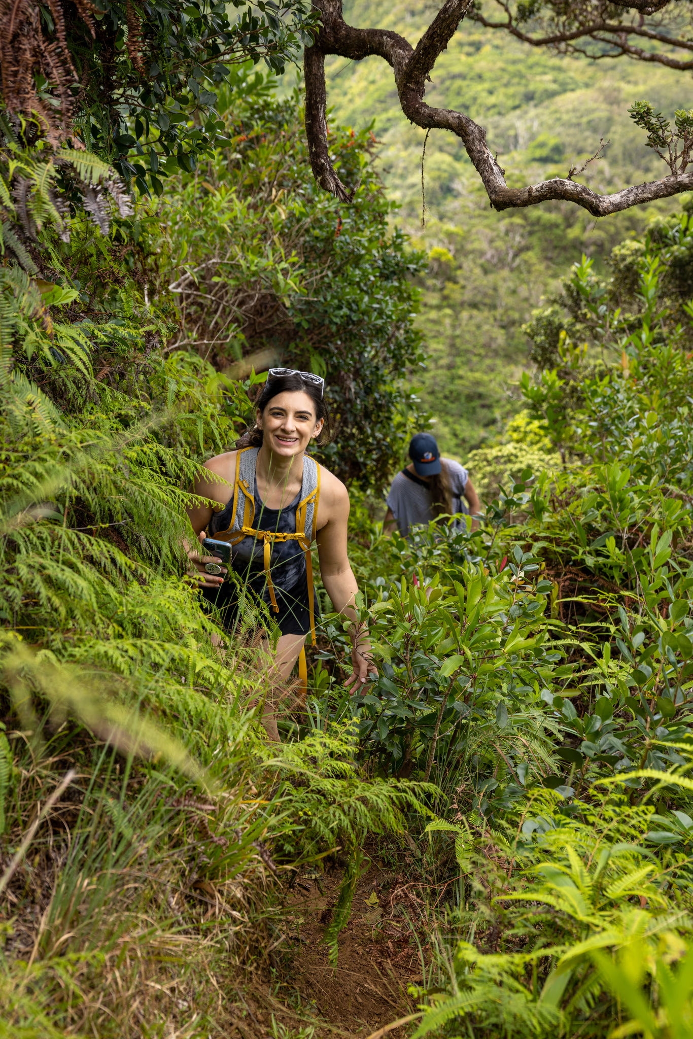

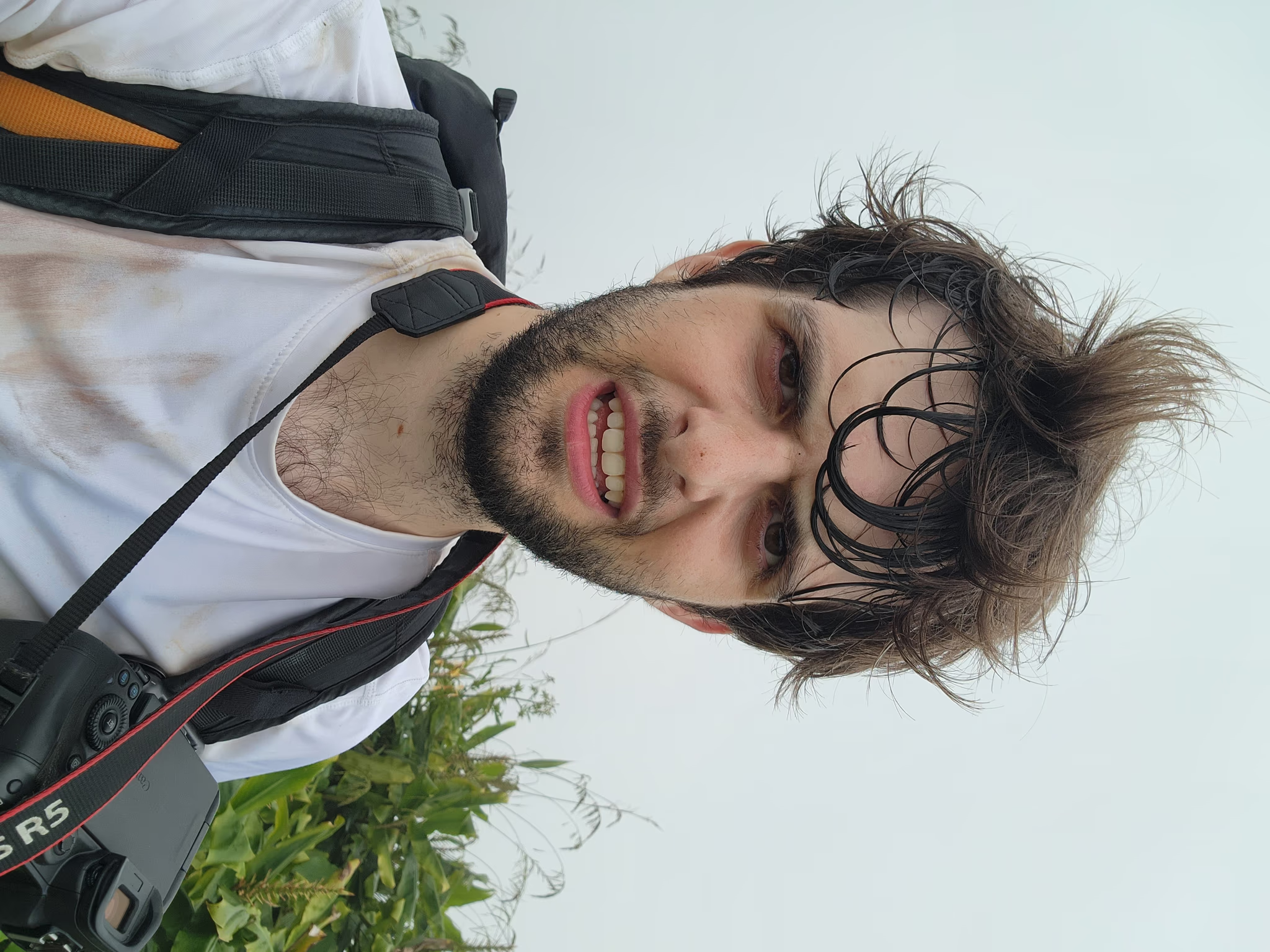
I Feel Scared
13:23:59 ⌛+4.75 Hours
I'd never been scared on a hike before this one.
As we ascended into the clouds, the terrain was so vertical at points that the vegetation around us thinned and our marked shins were granted temporary reprieve. We squeezed our footwear into boot-shaped ruts in the mud left by the force of rainwater eroding the soil. This was not a hiking trail; it was the way water drained off of the mountain, and humans who used that path were simply lucky it was there.
Exertion kept us warm despite periodic raindrops. None of us carried a raincoat, but neither the dampness of the cloud nor the increasingly thick mud deterred our mighty spirits.
The vegetation grew thick again, our pace slowed considerably, and we trudged to the first of the two peaks, reaching it at 2:20pm. This peak shared a nickname with the second tallest mountain on Earth, also called K2. That made us chuckle.
We stopped at peak's flat top for a water break. We had blown past my overall time estimate, and we still had one saddle, one peak, and one steep descent to tackle. I suddenly became hyper-aware that we had four hours until the day's 6:20pm sunset. Four hours may have seemed like plenty of time to some, but it didn't to me. I said aloud that we couldn't stop for long and needed to keep going.
Almost exactly one year prior, my father and I hiked to the top of Galehead Peak in New Hampshire. Galehead is a quintessential White Mountain 4000-footer nestled deep within the woods. At the summit stands Galehead Hut, staffed by a "croo" who cook hot meals for grateful, tired hikers, some of whom stay in the hut overnight. Dad and I were two of those hikers on October 3, 2021. It was an excellent trip.
Galehead Hut contains a library of books which make for an easy way to avoid screens and learn something. After dinner, I cracked open a quarterly journal dedicated to recording recent achievements by American hikers, stories from the White Mountains, and rescue report retrospectives. The latter interested me the most, and I gobbled up several issues worth of retrospectives while my father spoke to another gentleman.
My main takeaways from these readings were:
- Lots of folks don't adequately prepare for hikes.
- Even if they need a rescue, lots of folks wait until an injury, darkness, or extreme energy loss before contacting emergency services.
I closed one last journal for the night, the croo extinguished all of the Hut's interior lights, and I went to bed.
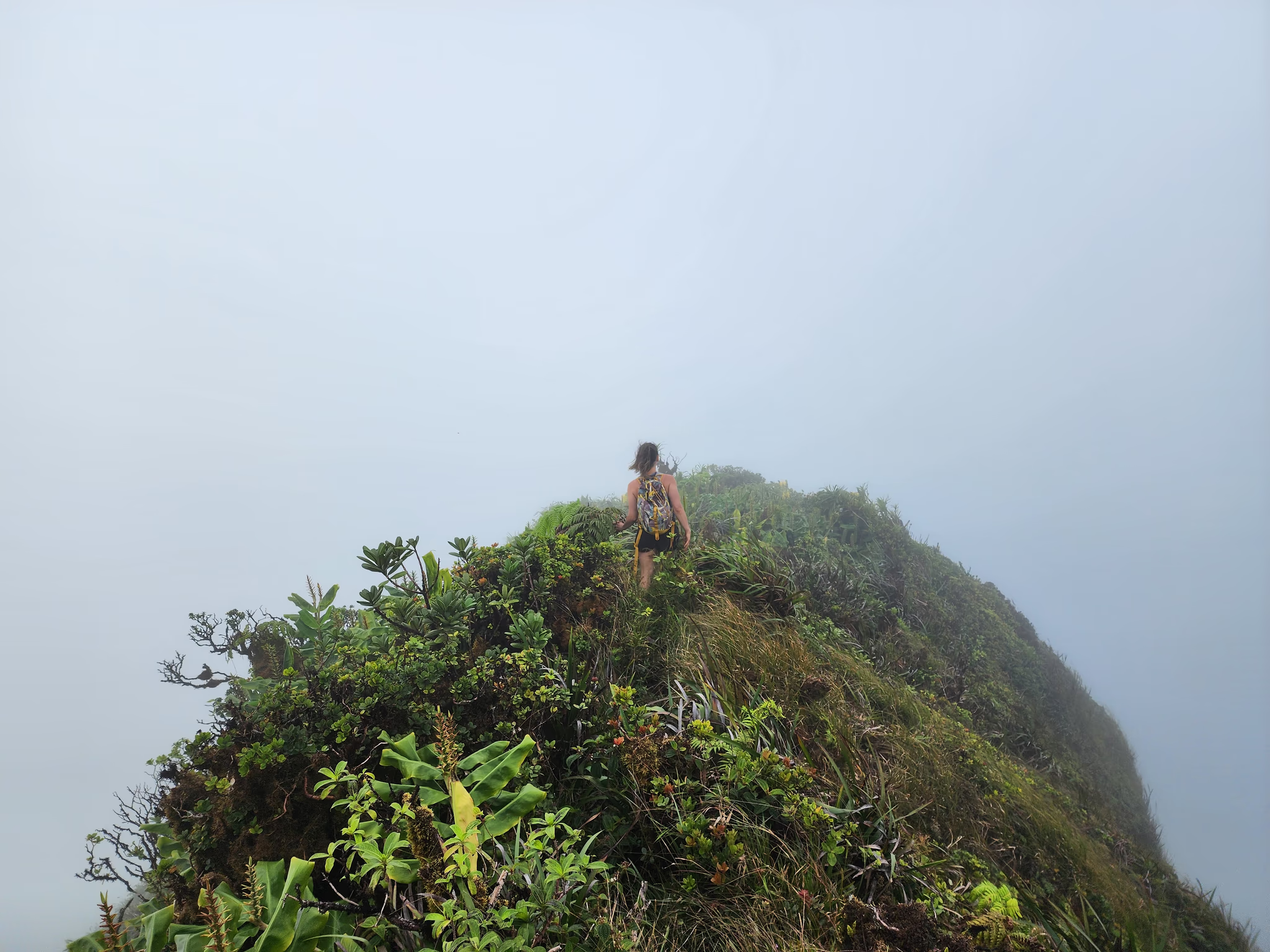
Meredith, Jessie, and I descended into the saddle between K2 and K1, and our progress slowed even further. The vegetation was now so thick that we only knew the way forward because stepping in any other direction meant falling off the side of the mountain. We later learned that several hikers throughout history had lost their balance on this ridge and fallen to their deaths.
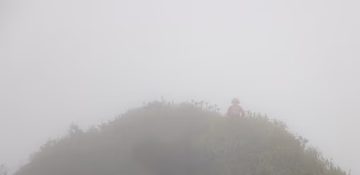
Condensed water vapor whipped past us. Meredith nearly lost her baseball cap, but she had smartly tied it to her hair. At one point, the clouds broke and we were blessed with a panoramic view of the island below, which stretched out far to the cerulean sea. The experience was unlike anything else I'd ever had.
For the first time ever while on a hike, I was scared. At one point, I lost my balance in the mud, and chills shot through my body. We were moving very slowly across the treacherous terrain, and the sunset clock seemed to tick faster. I moved quickly, stopping often to wait for Meredith and Jessie, hoping their faces would peek out above the leaves sooner than they actually did. I called out steep mud pits which sucked my boots up to their tongues. We struggled to hear each other over the wind.
Finally, at 3:55 PM, we reached the summit of K1; the quarter-mile (0.4km) saddle had taken us almost two hours to navigate. Unlike K2, whose peak was flat and clear, the highest point of K1 was not noticeable among the thick undergrowth.
"Here we are," I said to the others. "We can't stop. Have some water and let's keep going." My previously-confident voice felt shaky and wavering. Meredith and Jessie's lower halves were caked in mud, and their feet kept slipping in their sandals. They smiled, preserving my sanity.
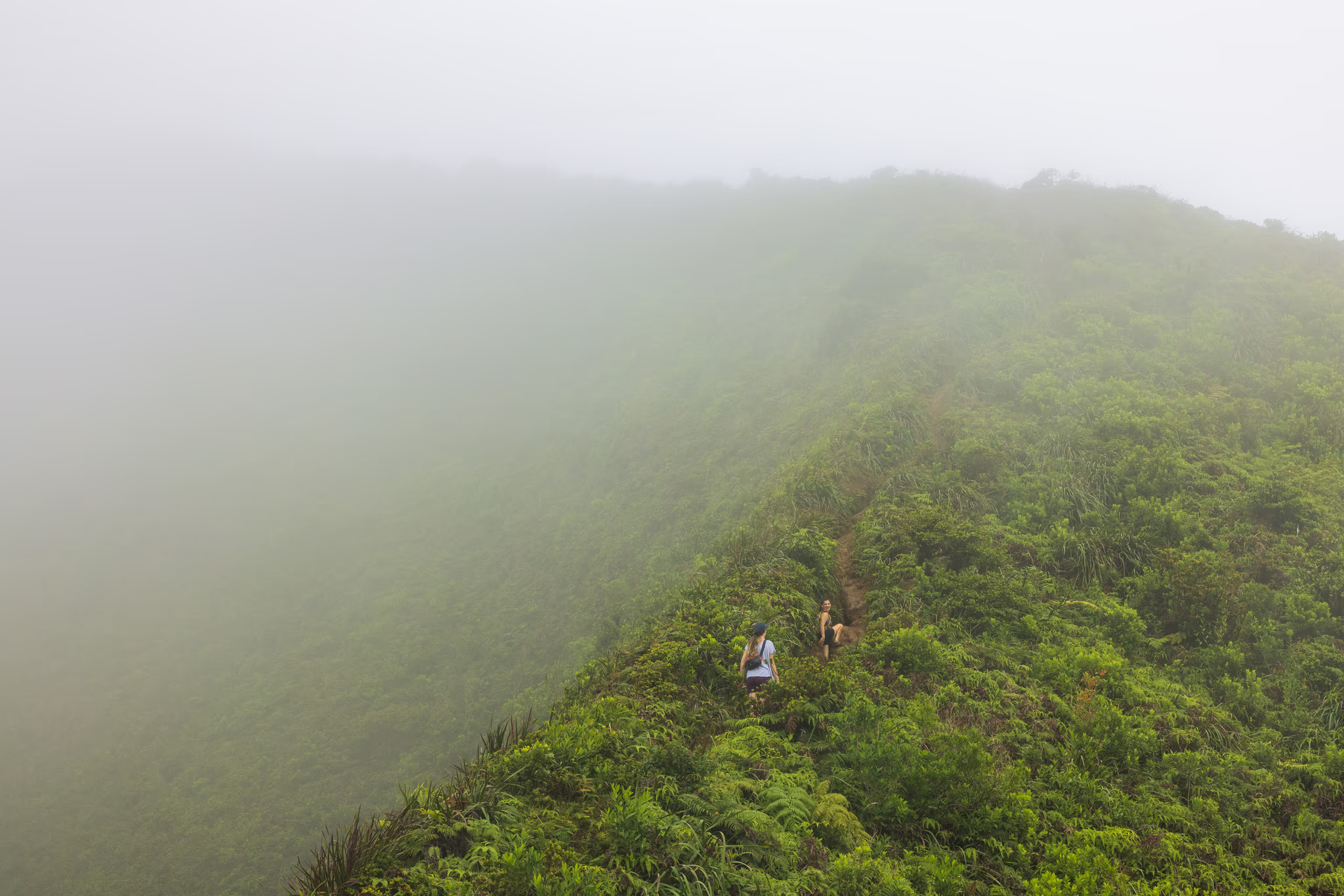

We Need Emergency Services
16:13:38 ⌛+7.5 Hours
It took us almost three hours to go less than half a mile, and we weren't close to done.
Without the AllTrails map and compass, I wouldn't have known which way to go. We were deep inside a cloud, visibility was very poor, and every direction looked the same: green and grey.
I chose what I thought was the correct direction and began walking. After sixty seconds, I checked the AllTrails map. We were off-course by a hair, but those hairs add up on mountaintops. "Go back up and turn left," I shouted to the others.
As we descended, the wind slowed. We could hear each other again. I was nervous, but very glad to be going down.
It's impossible to convey the magnitude and diversity of emotions that I felt when we made it through the lowest layer of clouds and I could see our destination, Pali Overlook. Awe, then terror. Breathless, then anxious. Excited, then defeated.
I knew immediately that we were not going to make it down the mountain before sunset.
Ahead of us stood the Pali Notches trail and 2,000 towering feet (610 meters) of elevation descent spread across a paltry 0.8 miles (1.3 kilometers) of horizontal distance. This is a steeper path than many people will ever hike in their lives.
This descent constitutes an average grade of -47% and an average angle of elevation of -25.3 degrees. Bradford Street, the steepest street in San Francisco, clocks in at a 41% grade.
My mind flashed to the accident reports I read in Galehead Hut, and my intuition screamed at me to call 911.
I turned to Meredith and Jessie and said with surprising confidence, "I need to call emergency services. We cannot make it down before sunset."
Gratefully, my hiking companions offered little resistance, and I pulled out my phone. With plenty of cell service, I dialed 911 for the first time in my life, and spoke to the dispatcher.
"My name is Zachary Fox. I am hiking on the Pali Notches trail near the top of K1 with two other people and we are in need of rescue."
The dispatcher connected me to the Honolulu Fire Department, and I repeated myself. The operator asked me if any of us were injured, and I said no.
"I am going to connect you to the rescue company. Do not speak until the rescue company picks up the phone and asks you a question," said the operator.
A man from the HFD rescue company spoke. I asked for rescue again, and relayed our location, knowing that my phone was transmitting our GPS location to emergency services. I hope I never have to see the notification "Location request by emergency services" on my phone ever again.
The rescue company operator asked me for our names, ages, heights, weights, and for descriptions of our clothing. I spoke as slowly, clearly, and calmly as I could. I heard sirens in the background as the operator told me that they had our location and were sending a helicopter to rescue us. He asked me to stay put, hang up the phone, and wait for a text message.
We sat on the side of the mountain and waited. I told Meredith and Jessie to put their phones in airplane mode and low power mode. I disabled my AllTrails tracker.
We started to get cold, and then we started shivering. I laid down underneath some plants in an attempt to shield myself from the wind, and layered myself with my backpack and its elastic waterproof rain cover. In a state of reflection, we talked about life and mental health.
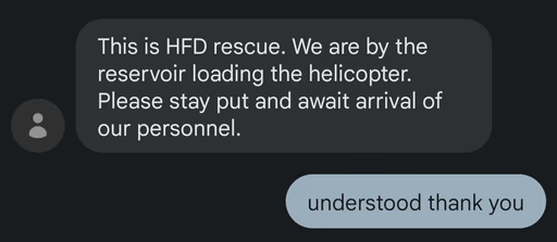
After what felt like an eternity but was really a half-hour, I received a text at 4:57pm: "This is HFD rescue. We are by the reservoir loading the helicopter. Please stay put and await arrival of our personnel."
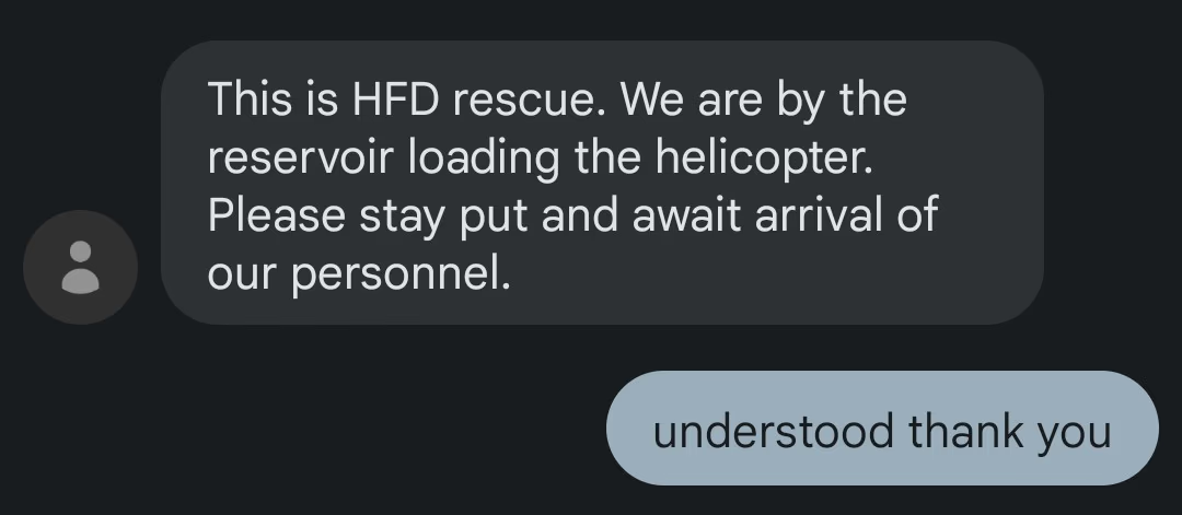
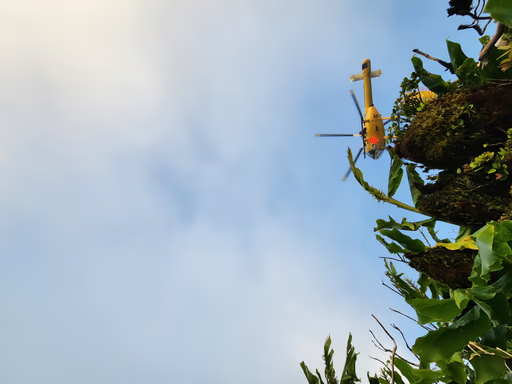
I nervously ate all but one of my açaí Hi-Chews and drank some water. Five minutes later, we heard the helicopter, and then we saw it. A wave of relief washed over me. I stood up and waved my arms, making myself appear as big as I could. The helicopter made big circles in front of and slightly below us.
I got another text message:

The people in the helicopter definitely saw us. They continued circling, and hovered directly above us at 5:46pm. It circled for several more minutes. Then, the helicopter flew away.
I received a call from the rescue company. The operator told me that the helicopter was returning to base to refuel and pick up additional personnel. Jessie asked me to ask the operator if we should continue moving lower and perhaps make the rescue easier, but the operator told us to stay put.
I called Liv to tell her that I was safe and that everything would be OK, and that I was being rescued from my hike by a helicopter. I'm very grateful that my wife remained calm when I told her that. Unbeknownst to me, she immediately pulled up FlightAware24 and started looking for the helicopter that would rescue us. The screenshots from her search are fantastic.
For the next 20 minutes, Meredith and Jessie and I huddled as close to each other as we could to maintain warmth. What an incredible bonding experience it is to be in a survival situation with other people! We promised each other that none of us would blame anyone else for our troubles. We made a great team.
The sun set, and the tint of the fog changed from yellow to blue.
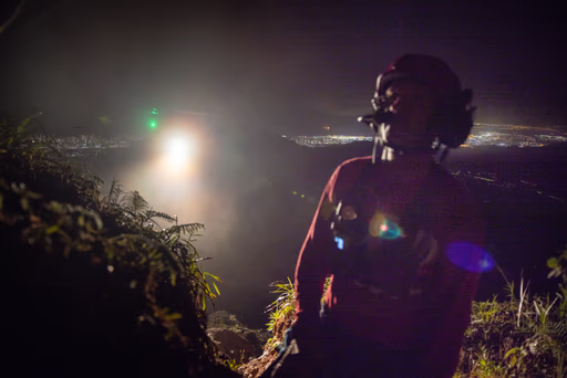
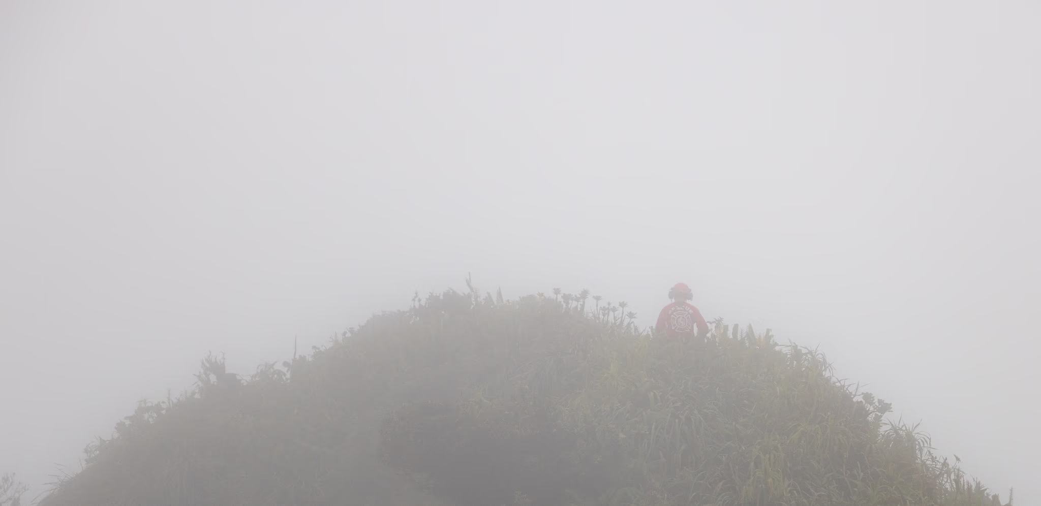
Then, as if from a movie, we heard a voice shouting to us from behind. I shouted back, and turned around. A tall man in a thick coat and red hat appeared from the mist. It was Aaron, and he was here to rescue us.

Few See This View
18:31:31 ⌛+9.75 Hours
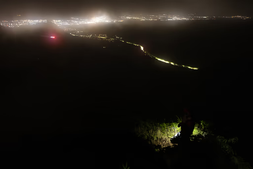
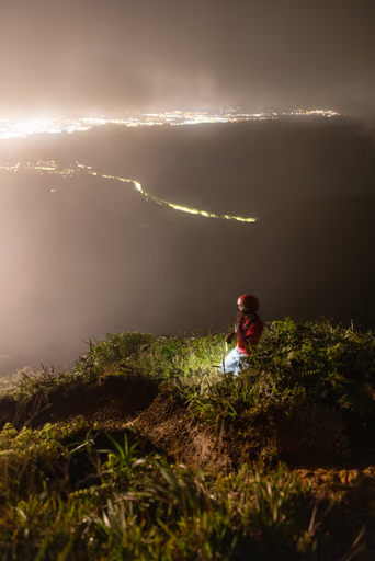
Being in survival mode prevented me from taking too many photos while being rescued.
Aaron greeted us with a jovial warmth that only a professional could in that moment. He wasted no time, telling us that he and another guy named Matt had been lowered via helicopter from the other side of K2 to rescue us. This blew my mind, because it meant that he was basically running across that dangerous ridge to find us.
Aaron took stock of our physical condition (uninjured and able to move), our water reserves (low), and our food (none, except for one small açaí Hi-Chew). He said that I might have to split that Hi-Chew five ways. I wasn't sure if he was joking.
He asked us to show him our footwear. Meredith showed him her muddy hiking sandals, to which Aaron exclaimed, "Well, that's fuckin' terrible." That made me laugh. He was not wrong.
He told us that the helicopter couldn't lower anyone directly to our location because the uncooperative clouds above us were too thick and refusing to burn off. He told us to stay put while he walked further down the trail in an attempt to find a flatter spot below the clouds fit for the helicopter's ropes.
Five minutes later, he returned with disheartening news. "That way is absolutely not going to work," Aaron told us. Once again, he told us to stay put while he hiked the short distance back up to the peak of K1 to see if there was a spot above the clouds visible to the sky and suitable for the helicopter and its crew.
The good news: Aaron returned from K1 with Matt, so there were two rescuers helping us off the mountain. Matt was a trainee with a superb track record, well on his way to becoming a full-time member of the rescue company.
The bad news: Being rescued from K1 wouldn't work either due to those damn clouds.
Even worse news: Neither Aaron nor Matt were carrying lights or water. Everyone involved thought this rescue would be a quick "diaper job," where each of us would clip into a diaper-shaped harness along with a rescuer and be carried away under the helicopter, one hiker at a time, to a safe landing zone. Due to the thick cloud cover, that wasn't going to happen. All five of us were now stuck on the mountain, and it was getting dark.
"Here's what we're gonna do," said Aaron in his native Hawaiian accent. "We're going to hike back towards where we were dropped in." The hope was that we'd find a spot on the way where the skies were clear. If not, we were sleeping on the mountain.
We stood up, put on our brave faces, and started hiking up. Matt led the group, making excellent callouts of all of the obstacles on the trail, and telling us which side was the "safe side" to fall as it changed. Matt was followed by Meredith, then me, then Jessie, then Aaron.
Only Matt's cell phone light showed us the way through the thick overgrowth, augmented periodically from behind by Aaron's cell phone light. Aaron told us that people will frequently call 911 to report sightings of flashing lights up in the mountains, and that people were certainly calling about us.
Matt and Aaron felt like real-life superheroes to me in those moments. Nothing could deter their positivity or professionalism, even when Matt's cell phone battery died and we switched it with Aaron's phone, or when our movement slowed to a crawl, or when one of us slipped and fell into a bush.
My respect for the Honolulu Fire Department grew even further when I learned that this rescue was going to be free for all three of us. "When people ask me that, I usually ask them 'How much is your life worth?'" replied Aaron when I asked him how much the rescue would cost. I didn't have a good answer. There have been many moments in my 31 years — recent moments, even — when I would honestly answer that my life is worth nothing. Sharing that later with Meredith and Jessie opened up a vulnerable conversation about depression, and I felt seen.
"How are you doing?" Matt and Aaron periodically asked us, and we told them honestly: that I was good but scared, or that we were losing energy, or that we were thirsty. It's easy to be honest with the people who are saving your life. Every time they asked us how we were doing, I asked them back: "How are you doing?" Aaron was shocked. "I don't think anyone has ever asked me that before," he said with a chuckle.
When Aaron decided that it wasn't the best idea to use his precious cell phone battery to light the way, he switched his phone with Meredith's, which was still happily chugging away at 70%+ battery remaining. She had done a great job at setting up her phone to sip battery during a hike, and had trust in me to take photos.
It took us three hours and fifteen minutes to hike from our waiting point, up to K1, down the saddle, back up the saddle, and down the steep ridge on the other side of K2 to a point below the clouds. While the sun lit our path, that same distance took us three hours to navigate; thanks to our skilled rescue team, we were almost as fast hiking in the dark as we were during the day. Matt as locomotive and Aaron as caboose meant we chugged along towards safety.
I can now confidently verify that other human senses become greatly heightened when another sense is diminished or unusable. As we were hiking up and down the treacherous trail, my night vision wasn't very useful. Instead, I had to rely mostly on my senses of touch and hearing to know whether I was about to plant my foot on the trail or into thin air.
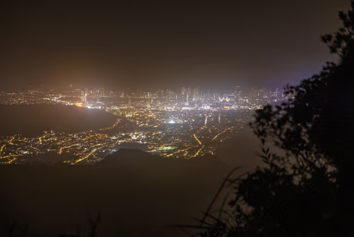
After those excruciatingly long three hours, we reached a spot sufficiently below the clouds where Aaron radioed to the helicopter. It was at this point where we could see the Honolulu skyline, and it was beautiful. I had never before seen sparkling city lights from a hike. Aaron and Matt seemed to enjoy the view as much as we did.
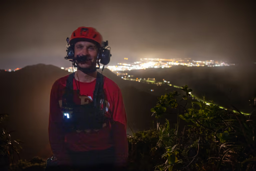
I took a dimly-lit photo of Aaron's beaming smile from that vantage point. Giddy, he told us that the helicopter pilots would be using top-tier military-spec night vision goggles — goggles so cutting-edge that HFD would have to tell the FBI if they went missing. We were almost out of there.
Aaron's tone turned serious. "Here's how this is gonna work," he said. "The helicopter is going to look for a place to land. It'll probably be on one of those two Pu'u over there," he said, pointing a few hundred feet down the trail, using the Hawaiian word for hill. The helicopter turned on a super bright light — not even the brightest HFD has, said Aaron — and scouted out those two hills.
A couple minutes later, we had a plan. "Meredith is going to go first; we are most concerned about her." This was very reasonable to all of us, given the fact that she was six months pregnant. She was to be extracted from the closest hill, whose landing zone was sketchier. Jessie and I would hike down a bit further to the next hill, where the helicopter would more easily extract us. Aaron instructed us on how and when to approach and enter the helicopter once it arrived.
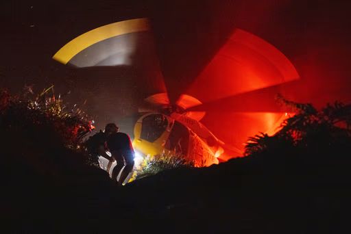
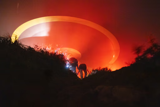
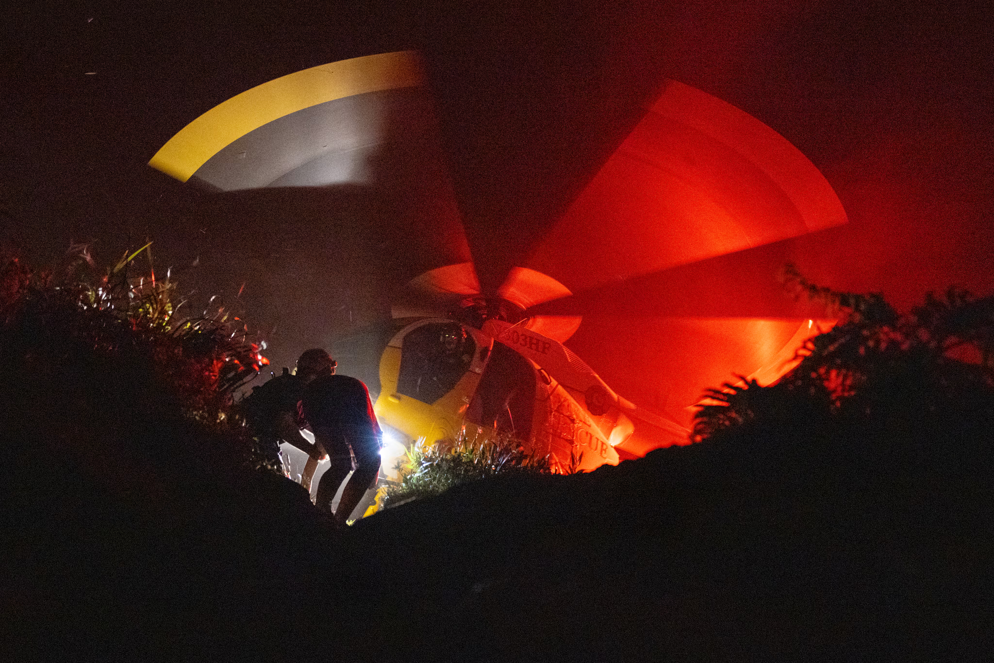
The plan unfolded quickly. Aaron, Jessie, and I hiked over the top of the first hill and hunkered down on its far side. Meredith and Matt stood at the top of the hill. The yellow helicopter roared above me, flinging grass and roots and rocks and dirt. I turned around and photographed Meredith and Matt ducking into the chopper, and then they were gone.
Aaron and Jessie and I clambered down the hill a bit further, where a third rescuer met up with us. He gave us each a headlamp and a bottle of water from a large red survival sack. I drank that water faster than I've ever drank water.
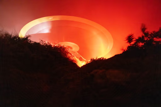
Filled with determination and a renewed, hydrated vigor, we clambered up the second hill. The helicopter was hovering seconds away. I lowered my head and crouched into the aft right seat of the helicopter, leaving Aaron and Jessie behind. The third rescuer expertly buckled my seatbelt, and we were off the ground. I closed my ears with my fingers as the pilots pushed forward on the throttle. It was 10:30PM.
The helicopter did not have any doors. The cool, damp night air rushed through the cabin, wicking away my sweat and my fear. I was safe.

Rescued
22:34:29 ⌛+13.75 Hours
The fire chief was right. We needed to have a better plan.
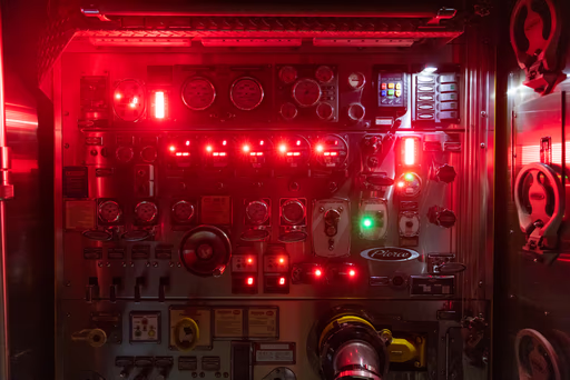
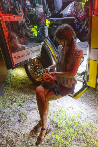
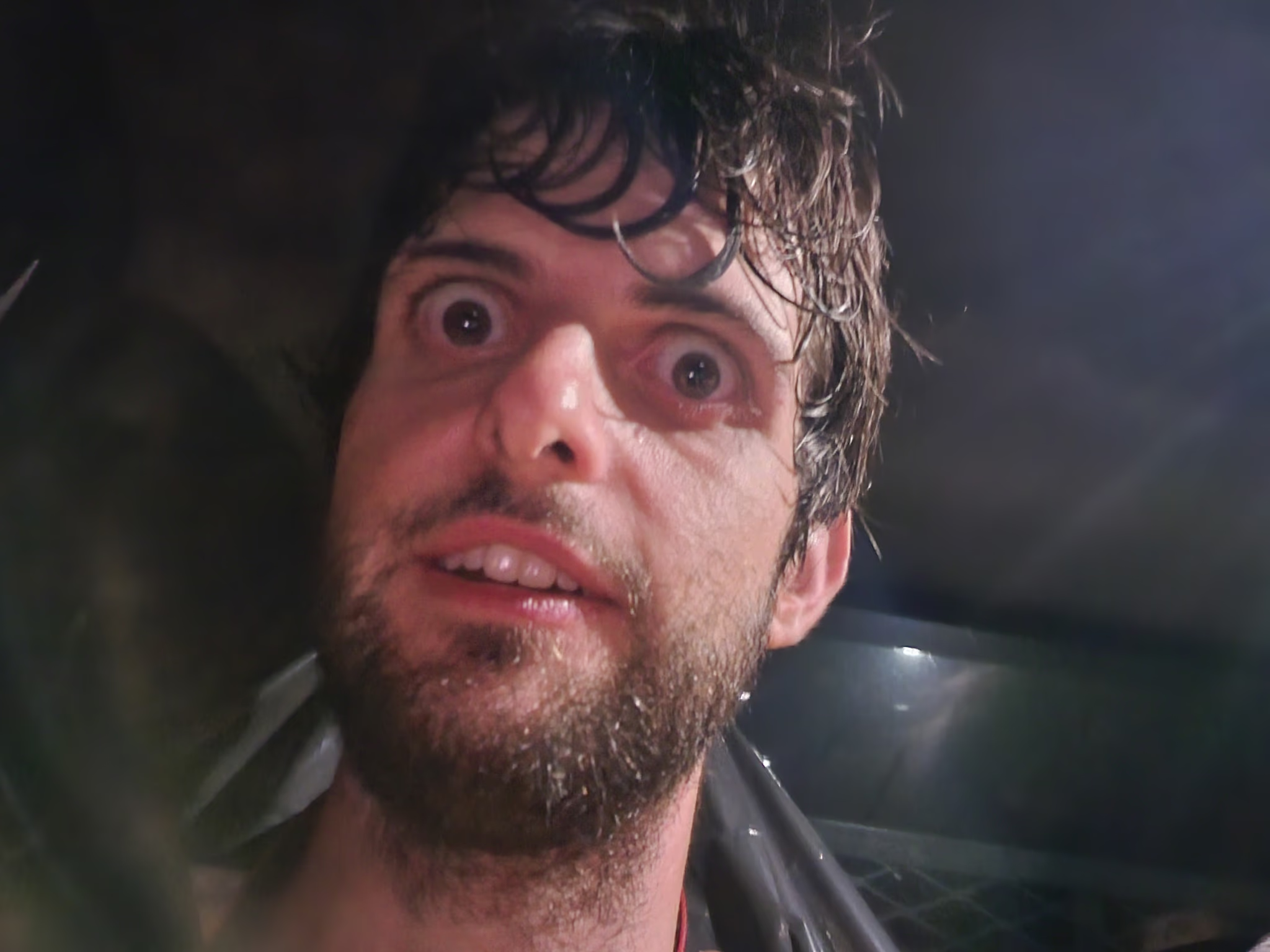
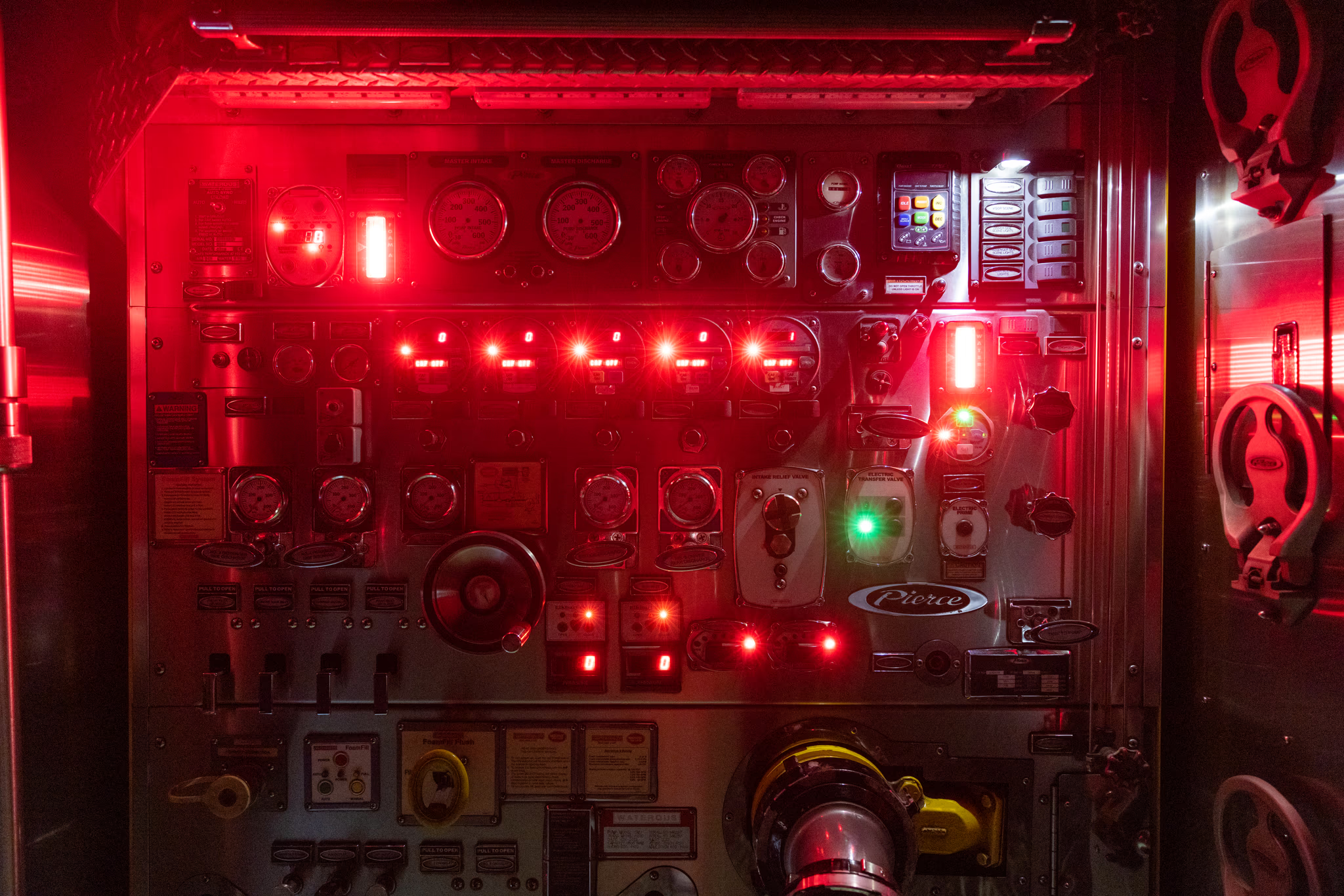
The HFD pilots skillfully landed the helicopter at a nearby reservoir, a spot that we all had seen from that very first vista point on our hike. Fire personnel escorted me to one of the fire engines present on-scene, where a man gave me another water bottle and made sure I was uninjured. Someone took down my personal information and took a photo of my ID. I sat down next to Meredith, and we barely spoke, exhausted.
Jessie landed a few minutes later and sat down next to me. Someone recorded her personal information.
The fire chief walked over and appropriately told us that we needed to do better. He pointed out our lack of planning, lack of food, lack of water, and improper footwear.
"Yes, thank you, you are completely right," I replied.
When I went on this hike, I was a tourist in Hawai'i. I made a series of mistakes which led to the deployment of significant public safety resources. Mistakes like these are paid for, at least in part, by the native Hawai'ian taxpayer. I do not take these resources for granted, and I understand that my use of Hawaiian land is always a privilege, not a right.
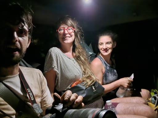
We walked to an HFD work truck and climbed into the back seats, which were covered with large plastic trash bags. The driver told us not to worry about getting the seats dirty, and we drove off towards the nearby Fire Station 25.
All of the HFD personnel we encountered were both serious and kind. Never once did they say anything to make me feel guilty. At the fire station, someone asked us if we wanted to use their hose to clean off our feet and boots.
We waited for an Uber. The driver didn't mind that we were covered in mud, despite his immaculate Mazda. We brought along the trash bags from our previous ride in an effort to keep dirt to a minimum. He was the first person to hear this story, and it was the first time he'd ever driven anyone rescued via helicopter.
Dazed, dehydrated, and exhausted, we arrived back at the Hilton Hawaiian Village, where Meredith, Jessie, and I split up. Liv fed me gyoza, a sandwich, and orange Gatorade, joining the list of people who rescued me.
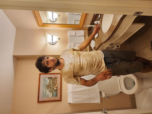
It was time for the greatest shower. In spite of the deep scrubbing and Liv's help, I couldn't remove all of the dirt from my body. My shirt, pants, and boots will never again be their original colors.
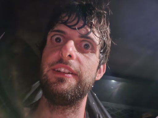
I dried off, climbed into the hotel bed, and briefly reflected upon the strange feeling of being alive. I fell asleep quickly.

Epilogue
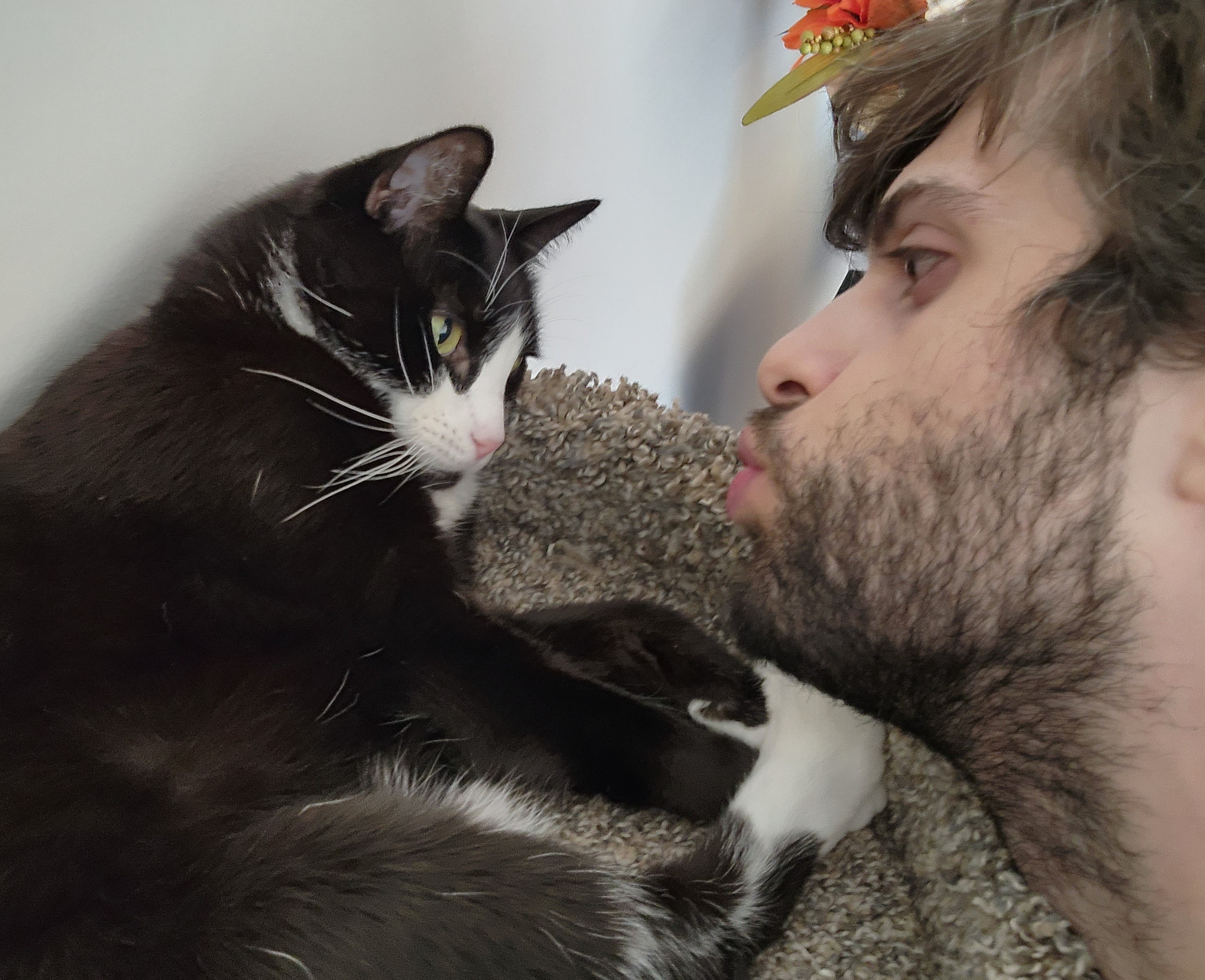
It is now the night of October 20th, 2022, I just took the above picture of me trying to kiss my cat, and I'm preparing to publish this story to the public. Publishing this story is scary in a different way from being stuck on K1. I don't know what's going to happen after I share this URL with my friends, family, and strangers. I feel some fear about the reaction I'll get.
I quit my software engineering job exactly one year before this hike. I've been working since then to try to make authentic storytelling through photography my career as well as my passion, which has been the most challenging thing I've ever done. I've poured so many of my technical and social skills into this venture.
Mostly, I do what I know how to do best: Take photos, write code, have vulnerable conversations with people, and tell stories. Just those things by themselves don't bring in the salary or stability granted to software engineers, especially given that I don't have formal business or marketing experience. For better or worse, art is about more than just salary and stability: Within the past year, I know that I've made more of a direct, positive impact on more people than I ever did working for someone else as a software engineer.
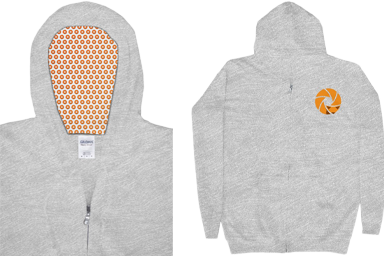
My dream is for dozens of people to rush to hire me to capture some important part of their lives. My more realistic goal is for 20 people to buy my limited-run, custom-designed hoodie, because I think the hoodies are really neat and it's too expensive for me to buy just one for myself. Hey...are you in the market for a nice new sweatshirt?
Publishing this story is like slamming a huge mallet down on a giant timpani drum. I've been iterating on this website and my business for the past year, banging repeatedly on that giant drum, hoping that the sound will resonate far enough such that a large enough crowd hears my music.
Acknowledgements
- The Honolulu Fire Department — with an overflowing gratitude for Aaron and Matt — for rescuing my friends and me from a dangerous situation.
- Liv, for endlessly supporting me, even when I miss team dinner.
- Meredith and Jessie, for being incredibly supportive and uplifting new friends who provided excellent feedback.
- Jess, for being the first person to read and respond to this entire story.
- Mom and Dad, for instilling in me a love of adventure, the outdoors, photography, and technology.
- My Patreon supporters, for their monthly contributions to my work.
- My Discord community, for providing helpful feedback on this story.
- You, for reading this far.
Thank you, sincerely, for reading my first feature-length story. It took me hundreds of hours to put this together. I'm proud of the results, and grateful to be safe.
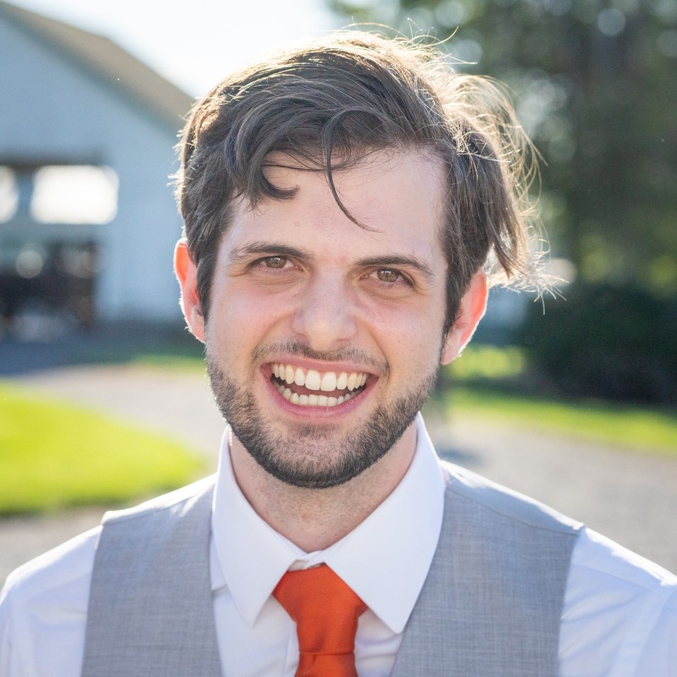
Zach
Hiking Preparation Tips
I've hiked hundreds of trails throughout my life, and I still ended up in an emergency rescue situation. I'd like to share with you some ways to be better prepared for a multi-hour hike in unfamiliar territory:
- Using AllTrails or a local trail map, get to know the trail you want to use:
- How much distance will you have to travel?
- What's the total elevation you'll have to climb?
- How steep are the steepest sections up and down?
- What are the trail's conditions?
- Understand your transportation situation:
- How will you get to and from the trailhead?
- What's parking going to be like?
- Be mindful of the weather and any recent rain. Don't hike at high elevations during a thunderstorm.
- Check with locals before embarking on an unknown trail. You may learn something that Internet searches cannot teach you.
- Start early in the day, and give yourself plenty of time to finish your hike.
- Wear appropriate, waterproof, well-fitting footwear. Tie your shoes properly.
- Wear good socks. I like Darn Tough socks.
- Bring slightly more water than you expect to need.
- Pack a snack on all hikes. Pack a meal and a snack on hikes over four hours.
- Bring a headlamp if you anticipate hiking in the dark.
- Understand your limits, and push them when it is safe to do so.
Even if you feel prepared, you may still find yourself in an emergency situation. Contact emergency services via 911 before your situation worsens. If you need to, it's better to call 911 before sunset, and before someone in your party is injured or ill.
October 22, 2022 09:26 EDT: My friend Julia, who works in Search and Rescue, contributed the following additional hiking preparation tips. Thank you, Julia.
- Conserve your phone battery while hiking, and/or carry a backup battery. Enable your phone's airplane mode. You can use most of the functionality of AllTrails and other navigation apps in airplane mode — the GPS on your phone will work without cell service, and your battery will drain more slowly if it isn't trying to communicate with cell towers.
- Always check official trail maps in addition to crowd-sourced resources like AllTrails or Strava. Many "social trails" (trails that are not maintained, but where enough people have bushwhacked that they appear to be a trail in some spots) are documented on those sites. Social trails frequently result in people getting lost or overwhelmed since they were expecting a maintained trail rather than cross country travel.
- Leave an itinerary with someone who isn't going on your hike, and check in with them when you return. You might not have cell coverage or your phone battery could die, so you want to make sure someone would know if you don't return from your hike on time, and where Search and Rescue should start looking.
Supporting My Work
If you enjoyed reading this ad-free story and would like to support my career as an independent photographer, there are several ways you can do so:
Buy a limited-edition, first-run Zach Fox Photography logo hoodie with a sweet custom hood print. It's a Gildan midweight zip hoodie with hand pockets and a warm, comfortable material.
Hurry — they're only available to buy until November 18, 2022.
Purchase a 5-pack of Hawai'i-themed greeting cards or an acrylic wall print from my Etsy shop.
The front of each cardstock greeting card displays a print from one of my photos. The inside of the cards are blank. The back of each card displays some information about the photo.
- Contact Me
Contact me directly to start a conversation with me about this story privately. I would love to hear from you.
- Subscribe on Patreon
Subscribe to my Patreon for as little as $1/month for regular digital deliveries of desktop and mobile wallpapers, photography tips, my endless gratitude, and other perks.
- Tip Jar
Leave me a tip via my Tip Jar. Even $5 contributes significantly towards website hosting costs.

